The Zeverland map: 24 × 24 km of red zones
One connected open world, 24 × 24 kilometers, layered by infection level — the deeper you go into the red, the stranger and richer the loot.
Last verified: October 26, 2026 · Sources: official Steam page, playtest footage, roadmap.
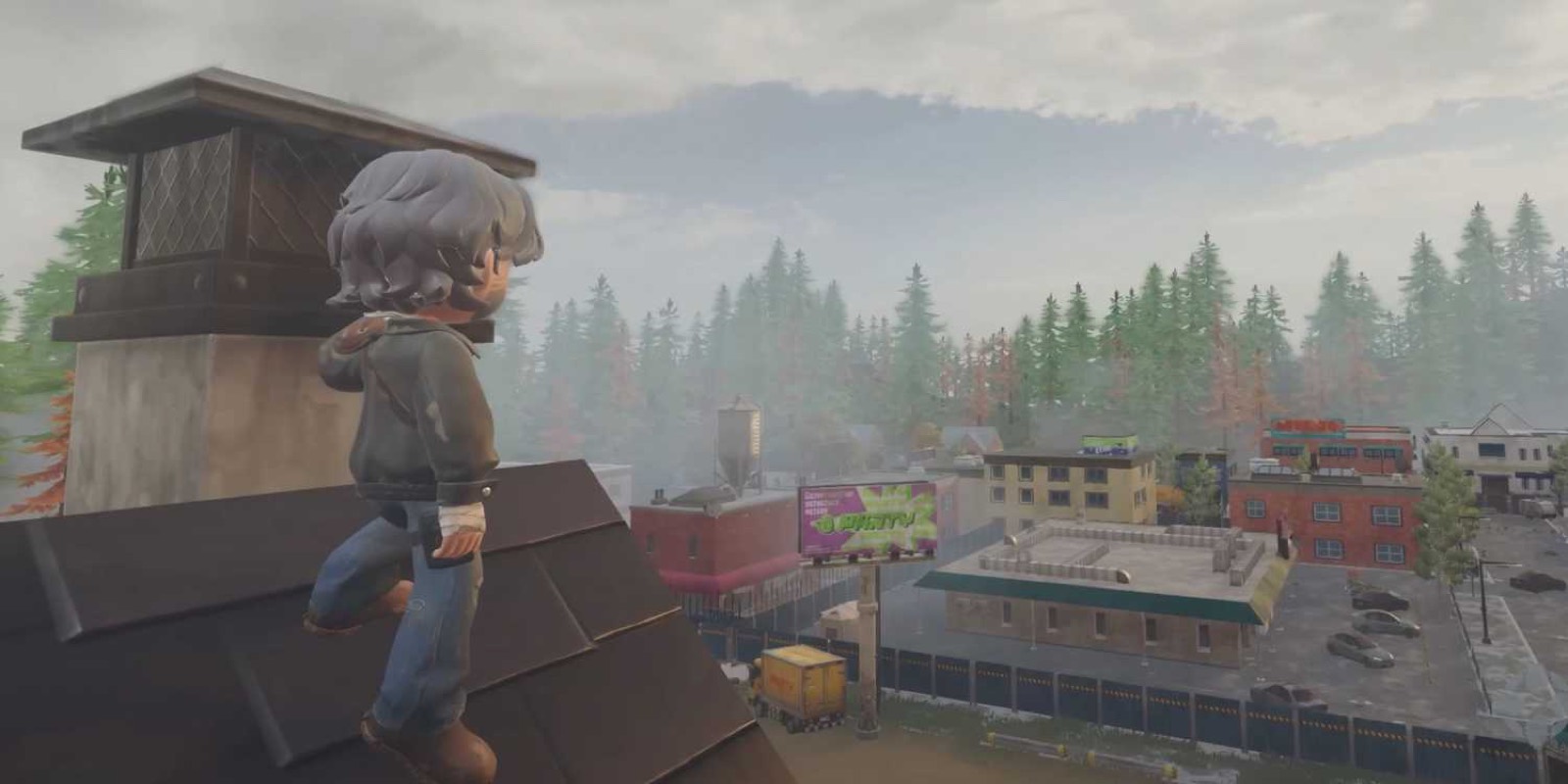
How the world is layered
The apocalypse began with the Red Rain, and the map carries its fingerprints: biomes are stacked by infection level. Low-infection layers hold survivor camps and safer scavenging; deep zones turn hostile and strange. The world sits in its first minutes after the outbreak — not years later.
About the "5,000 km²" figure: some store listings cite it, but it is marketing copy. The developer's own description is the layered 24 × 24 km world.
How big is the Zeverland map?
24 × 24 kilometers — one connected open world, per the developer. That's the playable size; if you see "5,000 km²" anywhere, that's the store-listing marketing figure, not the playable world.
POIs seen so far
- RedHill Gas Station — a branded landmark and quest hub in playtests, with its own danger rating in the HUD.
- Pocket Park — a campground area players turned into a camp.
- Fogged towns, forest belts, container yards — environment types visible across playtest footage.
Navigation tools observed in the HUD: a circular minimap with view cone, coordinates, and a per-area danger level — no full-screen map has been shown publicly yet.
On the roadmap
The July 2026 roadmap names "larger maps with richer POIs" and ziplines — the world is planned to grow. When the demo lands, this page becomes a real map guide: region breakdowns, loot tiers and safe routes.
Related: vehicles for crossing the 24 × 24 km fast, and the infection system that defines each layer.